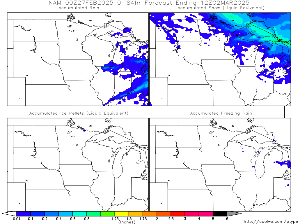
It just seems to me like that particular model is keeping the freezing line up around the Iowa Minnesota border longer than any other model. It has it up there most of the day Wednesday and Thursday with a good deal of precip during that time period. This would in theory fall in the form of sleet I have a feeling. It's too hard to tell what will happen at this point.
Thanks for the good news