No forums found...
Site Related
Iowa State
College Sports
General - Non ISU
CF Archive
Install the app
How to install the app on iOS
Follow along with the video below to see how to install our site as a web app on your home screen.
Note: This feature may not be available in some browsers.
6-3 Weather Thread-Long track tornadoes?
- Thread starter cydsho
- Start date
No forums found...
Site Related
Iowa State
College Sports
General - Non ISU
CF Archive
You are using an out of date browser. It may not display this or other websites correctly.
You should upgrade or use an alternative browser.
You should upgrade or use an alternative browser.


1 hour and 45 minutes later and Brett has not told me not to panic. It's every man for himself.
If I tell you what to do, how will certain national personalities be able to say there was no warning?
Kidding...sorta....
Seriously though, it does look like a pretty rough evening on the way in SW Iowa. Already some monsters in Nebraska...could see wind gusts 90mph or stronger.

Last edited:

If I tell you what to do, how will certain national personalities be able to say there was no warning?
It's ok... I would prefer to not know when I am going to die especially if it is going to be tonight. Thanks. :wideeyed:

I wouldn't be, depending on the direction of the wind it could double the distance of your drives.I tee off for Men's League at 5:30 in the DSM area. Should I be concerned?
I tee off for Men's League at 5:30 in the DSM area. Should I be concerned?
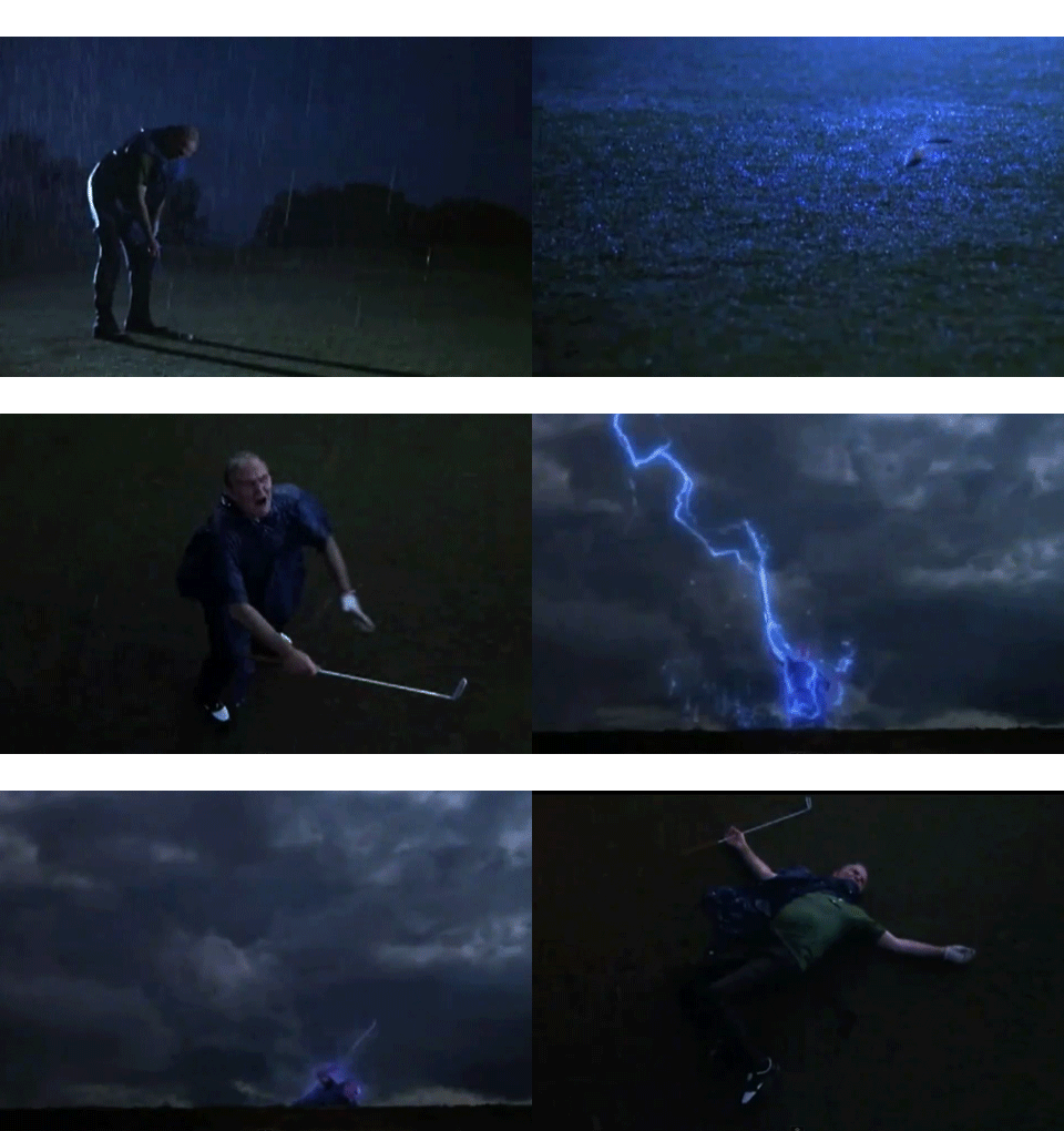

I tee off for Men's League at 5:30 in the DSM area. Should I be concerned?
We don't even know your handicap, how are we supposed to answer that?


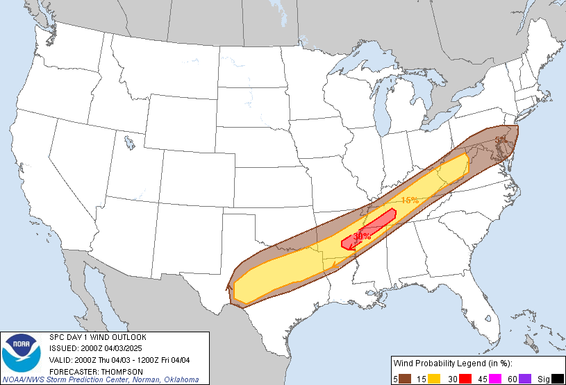
High Risk now out for southern Iowa.
Looks like an enhanced damaging wind threat across the high risk area from that storm currently evolving in eastern Nebraska.
All risks present this evening/tonight. Large Hail, Wind, Tornadoes too.
Please be weather aware!

Part of the area (including Des Moines) has actually been upgraded to a high risk due to the likelihood of very high winds with intensifying system (bowing segment) moving out of nebraska right now.
edit: looks like MNCYWX beat me to it
Any link with the words "Land Hurricane" used in it should be disregarded. What a foolish title.

Cyclonepride
Thought Police
Any link with the words "Land Hurricane" used in it should be disregarded. What a foolish title.
Lol. Can we call it a Summer Vortex?

The rain will be very intense with this system, so even with fast storm movements some areas in central and southern Iowa could see excessive amounts of rainfall. Latest QPF from HPC shows 3+ inch rainfall across central and southern Iowa.